 Cookie preferences
Active filters
LATEST NEWS


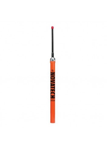
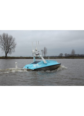
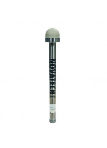
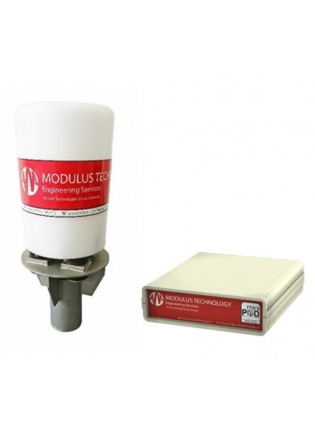
NOVATECH RADIO BEACONS

The NOVATECH™ Tracking & Monitoring products allow for recovery insurance in harsh submarine environments.

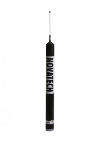
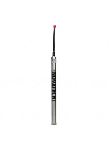
NOVATECH SATELLITE BEACONS
NOVATECH™ Satellite Beacons provide near real-time data and recovery coordinates, via Iridium® or Argos satellites, offering different options to suit individual deployment needs.
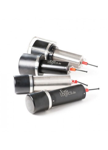
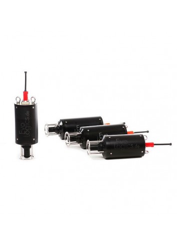
USBL S2CR

EvoLogics S2C R USBL is a series of combined positioning and communication devices for a variety of subsea applications.
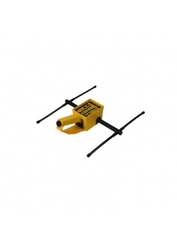
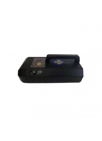
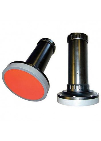
DIRECTION FINDER DF-500N
The NOVATECH™ DF-500N is a hand-held direction finder (DF) designed to operate in the most demanding field conditions on land or at sea.

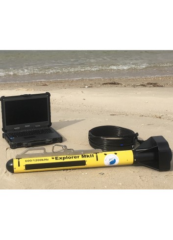
ARC EXPLORER MK II

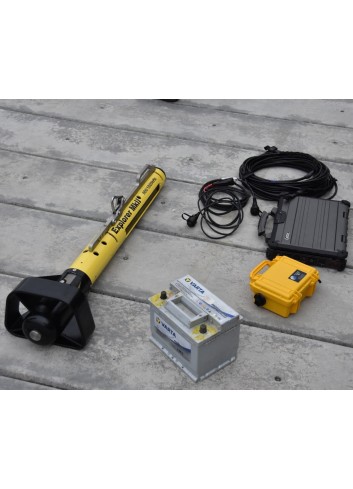
The ARC Explorer Mk II is the latest generation of Marine Sonic, dual frequency towed side scan sonar designed for search, reconnaissance and recovery applications.
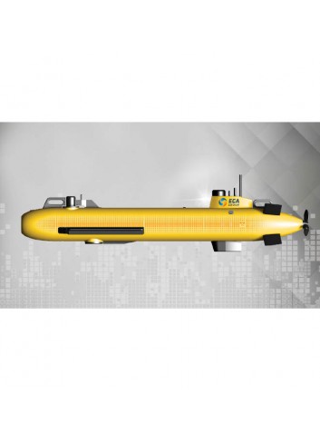
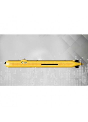
AUV ECA A-9E

A9-E is the configuration of the autonomous autonomous vehicle A9 of the ECA group, AUV, for environmental monitoring. In addition to acquiring images of the seabed, it will record bathymetric data as well as environmental information such as water turbidity, conductivity, temperature, fluorescence, dissolved oxygen or pH. Mission planning and tracking is done through user-friendly software that lets you track the vehicle at all times during your mission.
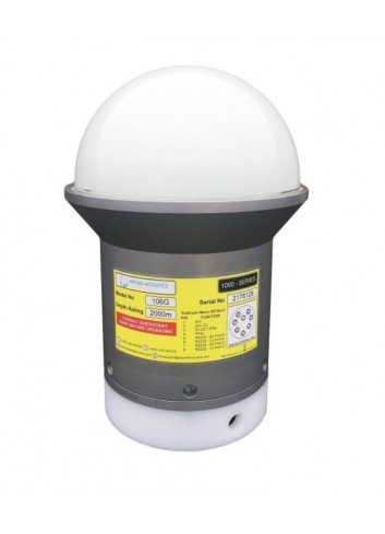
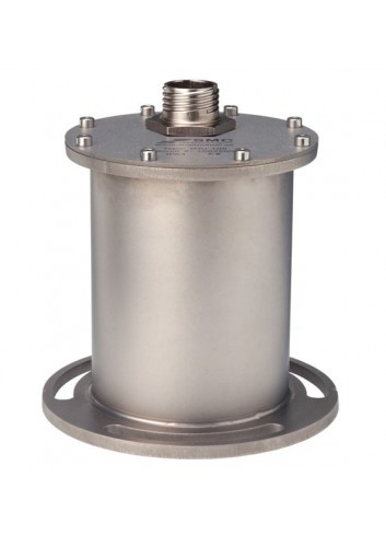
106G MiniPod SUBMERSIBLE GNSS

The 106G MiniPod is a ruggedised GNSS receiver that complements the operation of a nearby standard subsea positioning beacon.
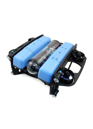
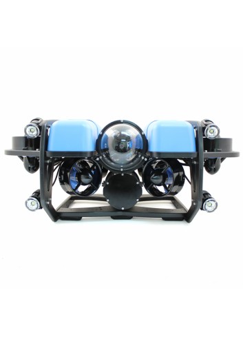
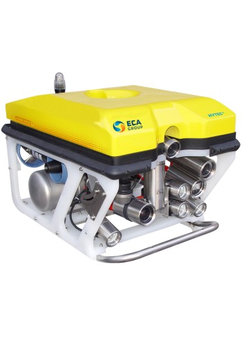
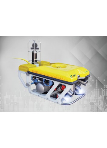
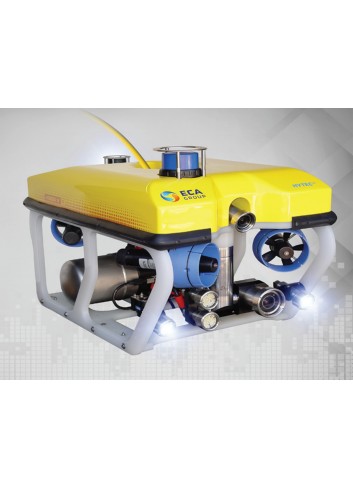
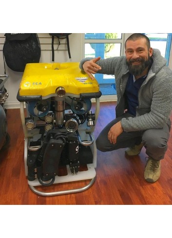
BLUEROV2

Ocean research, exploration and adventures are easily accessible with our flagship product, the BlueROV2.
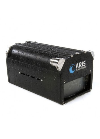
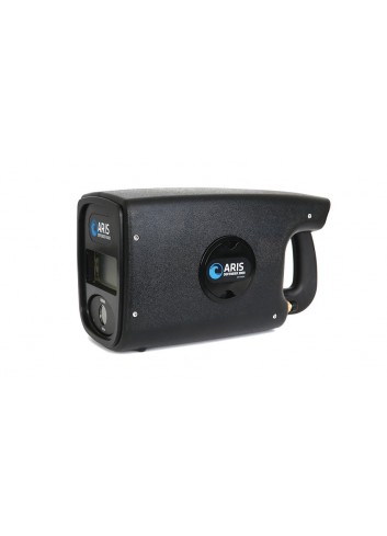
SONAR ARIS EXPLORER

Sound Metrics image sonars transmit sound pulses and convert the returns to digital images, much like medical ultrasound. The big advantage is that they allow you to "see" what is happening in waters where visibility is zero, with total darkness and cloudy water.
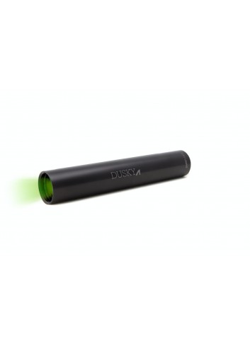
DUSKY LASER

The Dusky Shark T2 Subsea Line Laser is used when measurements are needed from video images.
MiniPod SUBMERSIBLE GNSS
applied acoustics’ MiniPod range delivers precise positioning using global navigation satellite systems (GNSS), whilst operating in the challenging environment of the splash zone.


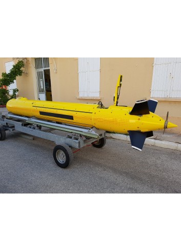
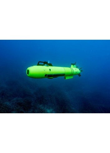
AUV A18D
A18-D is the mid-size autonomous underwater vehicle of the ECA, AUV group for deep water applications. It is dedicated to the precise exploration of the seabed in 3D. It performs autonomous missions from a depth of 3000 m for up to 21 hours and is easy to transport by plane for missions abroad. This system can be delivered with an LARS which enables automatic underwater recovery and Triton Imaging software applications for further data processing.